Beaver Creek Watershed Maps | Virtual Tour of the Creek | Regional Maps
Virtual Tour:
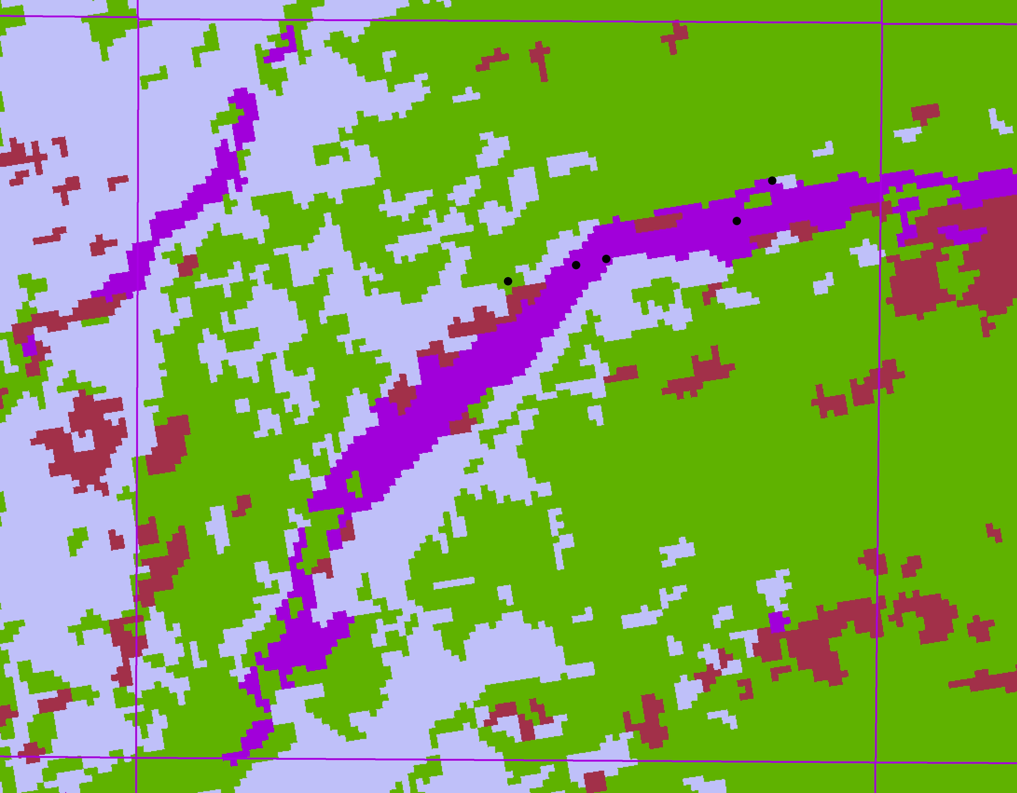
Points on the maps link to 360 degree photos of Beaver Creek and detailed maps of the area. View different map types through the tabs below.
1st Aerial Photo Map of Beaver Creek - Please Click on a point to view photos